seoulpop · location‑based history walks
Period —
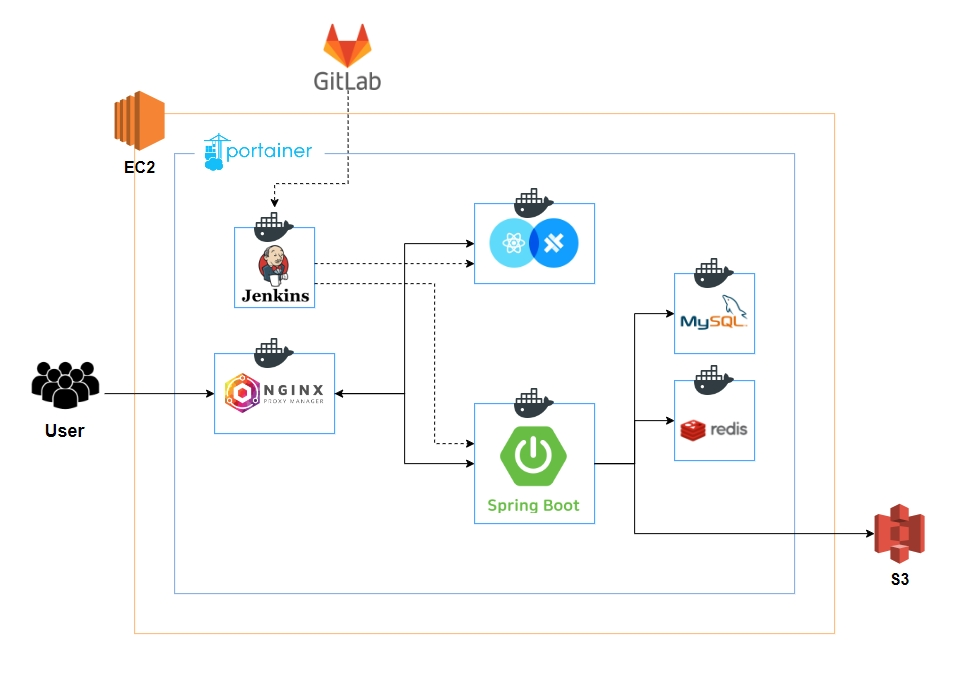
seoulpop is a walking guide to Seoul's heritage and historic sites that follows the user's location. I set up the servers and CI/CD alone.
Team and backend lead for member and history lookup APIs and infrastructure
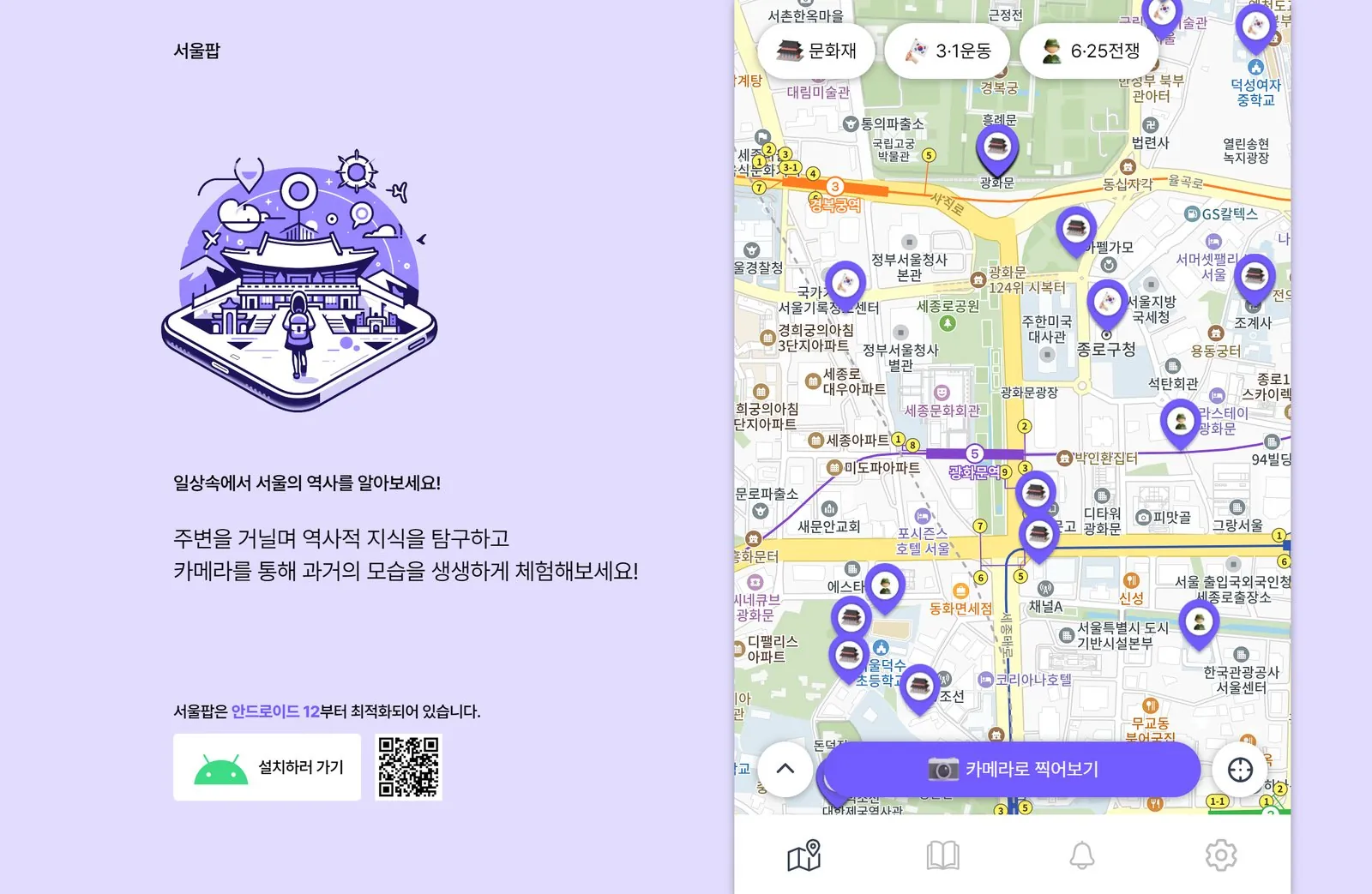
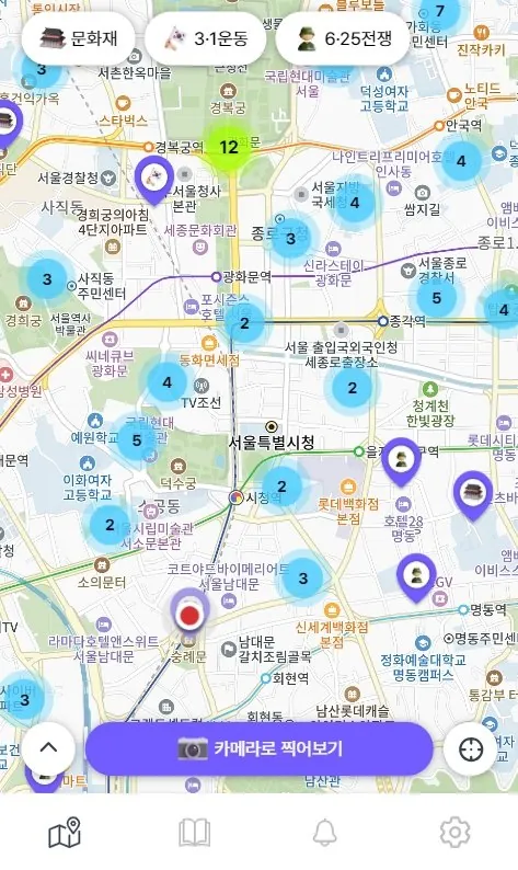
- Seoul history map
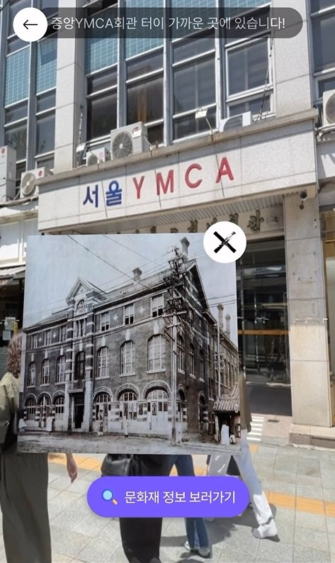
- GPS alerts for nearby heritage and historic sites
- Camera AR with real‑time content rendering
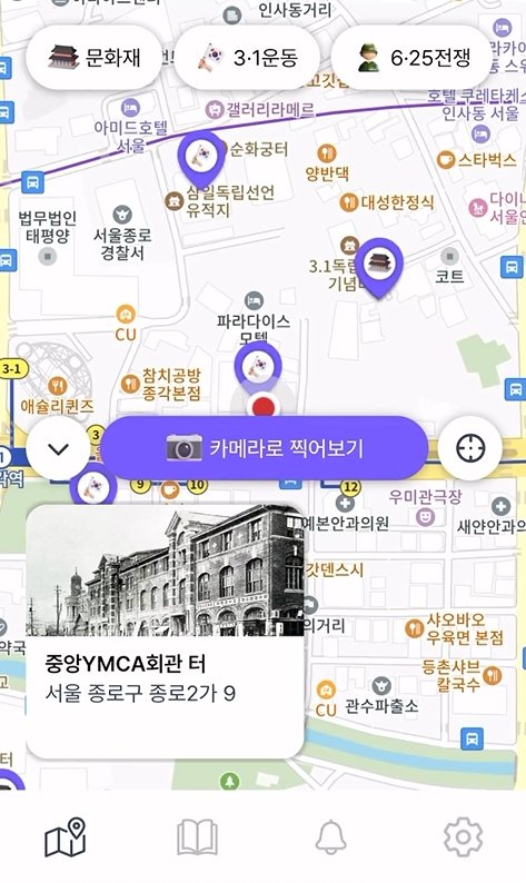
- Location and route guidance
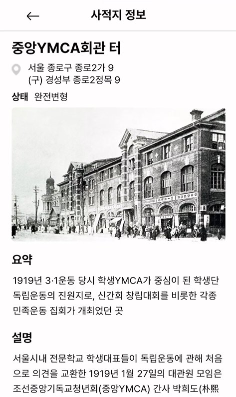
- History details built from crawled data
- Visit stamp collection
Distance calculations as users move
- Problem
- Coordinates of nearby heritage sites needed recalculating whenever a user moved. Finding the shortest distance every time grew costly fast, so we needed something better than a simple search.
- Solution
- The team compared partial search around the user's coordinates, GeoHash and Uber H3. Weighing real‑time proximity, accuracy and ease of use, we chose H3. We tested several scales and settled on about 200 m, and a teammate implemented the distance calculation.
Tracing container logs
- Problem
- Logs became harder to trace in Portainer as the number of containers grew. Scrolling problems in the Portainer console also made older logs hard to find.
- Solution
- After looking at several tools, I introduced Dozzle, which is simple to run and shows logs from many containers together. Logs for each transaction could be read on one screen, and the whole team checked logs on the same view.
Architecture